Scientists create method to remove noise from satellite imagery for NASA soil-moisture mapping mission.
A microwave radiometer with one of the most sophisticated signal-processing systems ever developed for an Earth science satellite mission has been delivered to NASA’s Jet Propulsion Laboratory (JPL) in Pasadena, Calif.

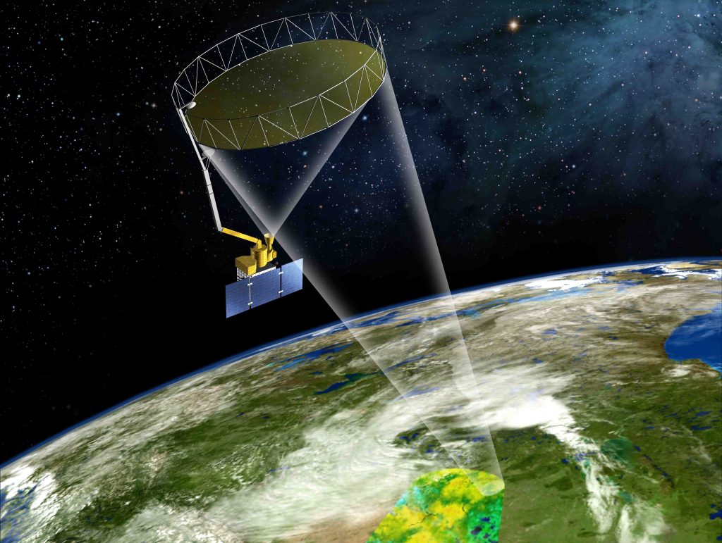
Designed to measure the intensity of electromagnetic radiation and equipped with an onboard computing system capable of crunching data equivalent to 192 million samples per second, the new radiometer will be integrated into NASA’s Soil Moisture Active Passive (SMAP) spacecraft, along with a synthetic aperture radar system developed by the JPL.
Special features included in the radiometer’s signal-processing system will enable scientists to identity and remove unwanted “noise” caused by RF interference from Earth-based services operating near the instrument’s microwave-frequency band, NASA said. Signal-spillover from neighboring spectrum users and interference caused by radar systems and radio transmitters operating outside International Telecommunication Union regulations often disrupt the microwave signal used to measure global moisture levels, resulting in the generation of global soil-moisture maps with “blank, data-less patches.”
According to the agency, this interference previously affected measurements gathered by the European Space Agency’s Soil Moisture and Ocean Salinity satellite and NASA’s Aquarius satellite.
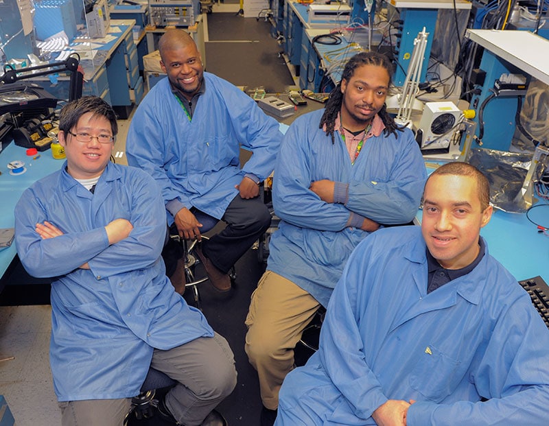
“This is the first system in the world to do all this,” instrument scientist Jeff Piepmeier said of the signal-processing system’s capability to identify and remove noise. Piepmeier developed the new system in cooperation with other NASA Goddard engineers and researchers at the University of Michigan and Ohio State University.
“It took years to develop the algorithms, the ground software, and the hardware. What we produced is the best L-band radiometer for Earth science.”
Scheduled for launch in late 2014, the SMAP mission will map worldwide soil moisture levels by gathering naturally-emitted microwave signals that indicate the presence of moisture—the wetter the soil, the colder it will appear in the data. The mission will benefit drought monitoring and prediction efforts and add to scientists’ understanding of the water cycle. It could also help determine the location of carbon dioxide storage areas—a long unsolved “climate mystery.”
For more information, visit NASA.


